The Map Collection
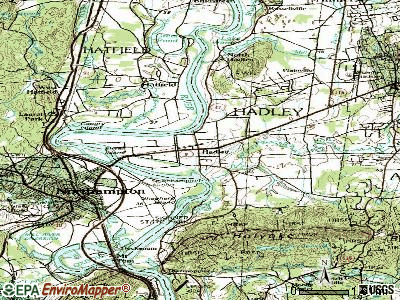
Topographic Maps (USGS)
Organized alphabetically by state and then alphabetically by quadrangle name. We currently collect the following topographic series:
- 1:24,000, or 7.5 minute maps of the U.S. and its contingencies.
- 1:62,000, or 15 minute maps of the U.S. and its contingencies. (Aside from those for the state of Alaska, as these are out of print.)
We also have some pieces of the following USGS series depicting the United States:
- 30 degree X 60 degree, 1:100,00 topographic
- BLM (Bureau of Land Management), 1:250,000, topographic
- 1 degree X 2 degree, 1:250,000, topographic
- County Map series
- National Park and National Monument Maps
- Color Image Border Maps, depicting Canadian / U.S. and Mexican / U.S. Border
/about/nrcs142p2_050436-58b9d2483df78c353c3922cf.jpg)
Thematic Maps
Published by the USGS in folded format and filed by Report Number, thematic maps include geologic, hydrologic, geophysical, and various other investigations. An easy way to locate a Report Number is to use Andriot's Guide to USGS Publications (call number SC/Science Map QE77 .G84 1997). Additionally, most of the thematic maps are indexed in the GeoRef database (when using GeoRef, note the Report Number which appears at the bottom of the abstract).
We collect the following thematic map series from the USGS:
- Coal Investigations (C)
- Circum-Pacific Maps (CP)
- Geophysical Investigations (GP)
- Geologic Quadrangles (GQ)
- Hydrologic Investigation Atlases (HA)
- Geologic Investigations (I)
- Miscellaneous Field Studies (MF)
- Mineral Investigations Resource Maps (MR)
- Oil and Gas Investigation Charts (OC)
- Oil and Gas Investigation Maps (OM)